So this question may sound very complex, and it is! I have very limited knowledge on math.
I’ve got a problem where I’m representing weather systems as points on a map, and each weather system has a positon (2D point) with a weight value (float). Where the systems intersect is where precipitation and pressure builds up, the movement of the points are solved later using convection.
EDIT:
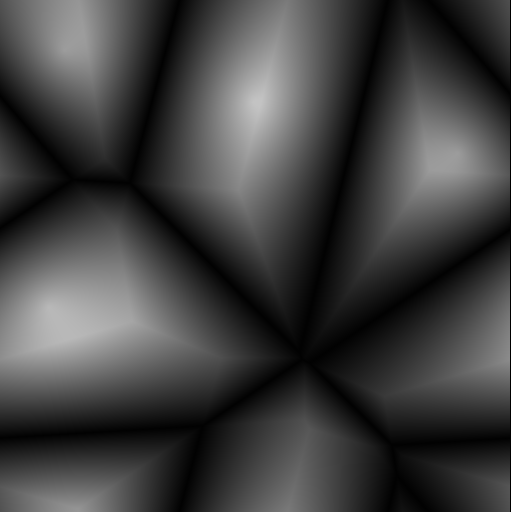
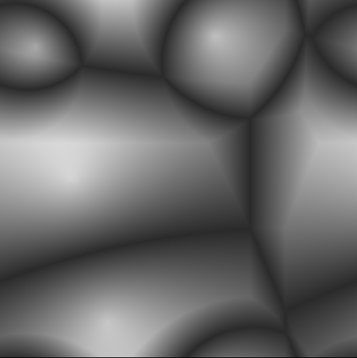
I want to use the voronoi map to output distance and essentially create a “precipitation intensity” which will be masked to an erosion function then added to a heightmap. The rest of these things are sorted out, just need the voronoi map now… :persecutioncomplex:
My problem is that the weighted voronoi map needs to:
1). Output to a grayscale color map
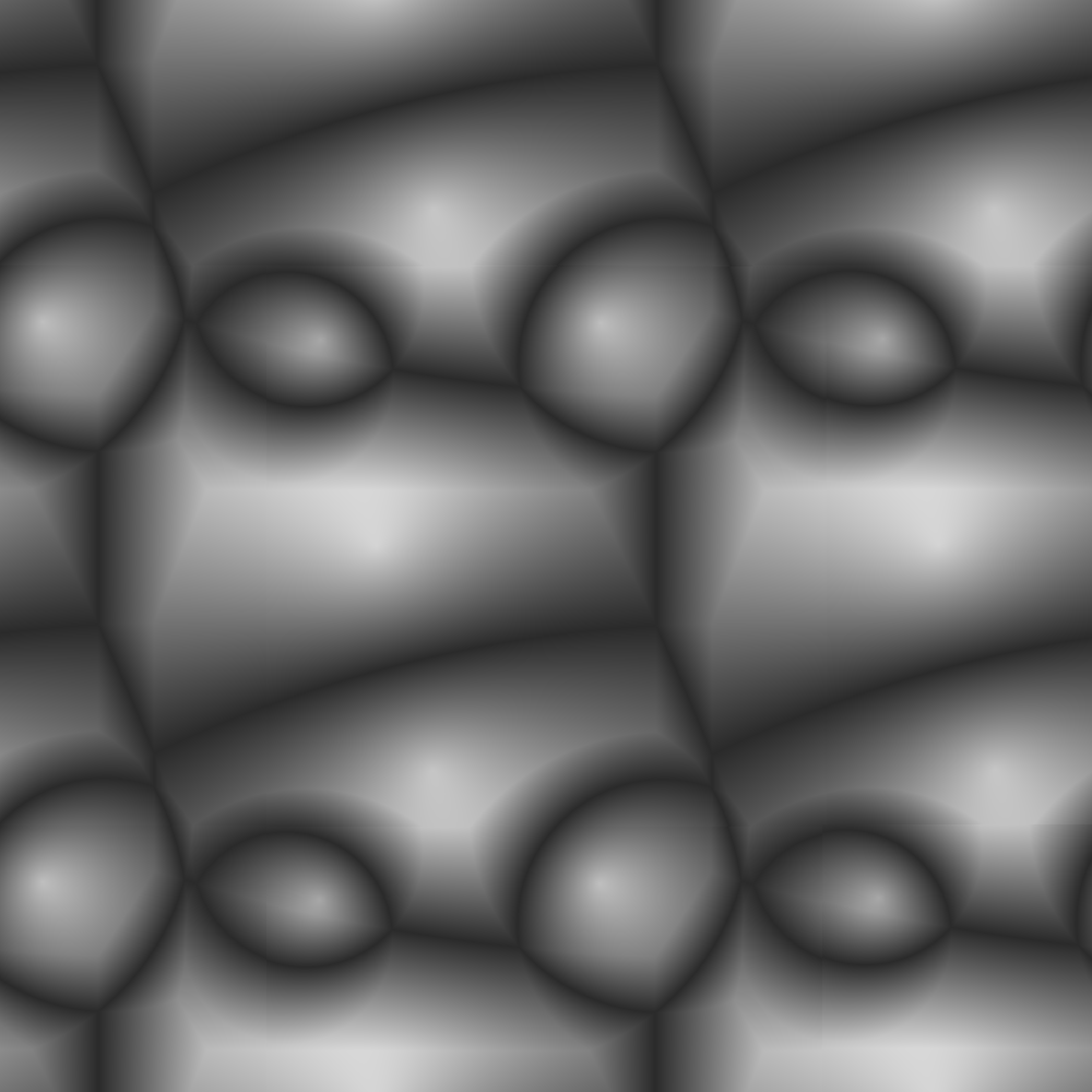
2). Wrap around on itself
(Forgive me if the link breaks)
The image has edges, and the segments that are off bounds just get clipped. But I want it to sample from the other side. I can’t find any documentation on this or really any useful information.
I can’t even begin to think how to implement this, but here are some IO prerequisites.
1). It will take in a Vector2f array as positions
2). It will take in a int array as weights
3). It will take in a non-square size (width =/= height)
3). It will output as a float[][] (heightmap between -1 and 1)
Thanks for any replies in advance!


